Measuring Carbon Sequestration Using Remote Sensing and Field Data

Why measuring carbon sequestration is fundamentally complex
Carbon sequestration is one of the most discussed metrics in climate action, yet it remains widely misunderstood. At its core, it refers to the net removal of carbon dioxide from the atmosphere and its long-term storage within vegetation and soils. Converting this ecological process into a measurable, repeatable, and verifiable value, however, is far more complex than it appears, a challenge consistently highlighted in global climate science such as the IPCC assessments.
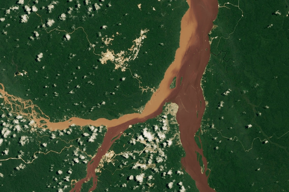
Historically, carbon sequestration has been estimated through field-based forest inventories and soil sampling. While these approaches are scientifically rigorous, they are limited in terms of spatial coverage, temporal continuity, and operational scalability. Remote sensing technologies, on the other hand, enable repeated large-scale observation but do not measure carbon directly. Instead, they infer carbon dynamics through indicators such as canopy structure, spectral reflectance, and surface roughness using Earth observation systems developed through NASA and ESA.
This creates an important reality: neither field measurements nor remote sensing is sufficient on its own. Credible carbon measurement depends on integrating ecological field data with the scalability and continuity of remote sensing. This combined approach forms the foundation of modern MRV systems and underpins how Darukaa.Earth develops reliable nature intelligence.
What exactly are we measuring when we talk about carbon sequestration?
Before discussing measurement approaches, it is important to define what carbon sequestration represents in practical terms. Carbon within terrestrial ecosystems is distributed across multiple pools. Above-ground biomass includes trunks, branches, and foliage, while below-ground biomass includes root systems that often store significant amounts of carbon. Dead organic matter, including litter and woody debris, acts as an intermediate reservoir, and soil organic carbon represents one of the most stable and extensive carbon pools on land, as documented by FAO.
Carbon sequestration is not simply the quantity of carbon stored at a single point in time. It represents the change in carbon stock over time, influenced by ecosystem growth, mortality, disturbance, decomposition, and land management practices. Measuring sequestration therefore requires long-term observation rather than isolated assessments.
This temporal dimension is where remote sensing becomes particularly valuable, especially when supported by ecologically grounded field measurements.
Remote sensing as a window into ecosystem carbon dynamics
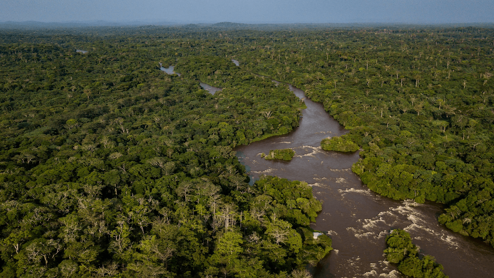
Remote sensing enables ecosystems to be monitored repeatedly and consistently across large geographic scales. Satellites, aircraft, and drones capture physical signals from the Earth’s surface that correlate with vegetation structure and productivity, both of which are closely linked to carbon storage.
Optical and multispectral observations
Multispectral satellites measure reflected sunlight across visible and near-infrared wavelengths. Vegetation indices such as NDVI and EVI are widely used as indicators of photosynthetic activity and canopy density. Over time, changes in these indices can reveal vegetation growth, degradation, or land-use transitions using data from missions such as Landsat.
However, optical datasets also have limitations. In dense forest systems, spectral signals can saturate, making it difficult to distinguish between moderate and very high biomass conditions. Cloud cover further reduces data availability in many tropical regions that are both ecologically complex and carbon-rich.
Radar sensing and structural insight
Synthetic Aperture Radar (SAR) addresses some of the limitations associated with optical imagery by actively emitting microwave signals capable of penetrating clouds and partially penetrating vegetation canopies. Radar backscatter responds to vegetation structure, moisture conditions, and surface roughness, making it particularly valuable in humid and tropical environments. Missions such as Sentinel-1 operated under Copernicus have significantly improved consistent radar coverage.
Despite these advantages, radar signals maintain nonlinear and ecosystem-specific relationships with biomass. Without proper calibration, interpretation can introduce substantial uncertainty, reinforcing the continued importance of field-based observations.
LiDAR and three-dimensional forest measurement
LiDAR significantly improves forest carbon estimation by capturing the three-dimensional structure of vegetation. By measuring the vertical distribution of canopy elements, LiDAR enables direct estimation of canopy height, volume, and vertical complexity, all of which are strongly associated with above-ground biomass.
LiDAR datasets collected from airborne platforms or missions such as GEDI and ICESat-2, are often used as reference layers for biomass estimation. However, LiDAR still does not measure carbon directly. Structural measurements must be translated into biomass and carbon estimates using field-calibrated ecological relationships.
Why field data remains the foundation of credible carbon measurement
Despite advances in remote sensing technologies, field measurements remain the primary link to ecological reality. Variables such as tree diameter, height, species composition, and wood density determine the amount of carbon stored in biomass, supported by global wood density datasets. Similarly, soil samples provide information on carbon concentration and bulk density that satellites cannot directly observe.
Field data supports carbon measurement in several important ways:
- It enables the development of allometric equations that convert tree measurements into biomass and carbon estimates
- It provides calibration data for remote-sensing models within local ecological contexts
- It allows independent validation of estimates, improving scientific and market credibility
In high-integrity MRV systems, field plots are not treated as secondary inputs. They are strategically designed to represent ecological variability across landscapes.
Integrating remote sensing and field data into a single MRV system
True carbon intelligence emerges when remote sensing and field data are integrated within a unified analytical workflow. This process often begins with landscape stratification using satellite-derived land-cover and vegetation datasets. Field plots are then distributed across these strata to capture variability in species composition, vegetation age, and management history.
Remote-sensing variables — including spectral indices, radar backscatter, and LiDAR-derived metrics — are statistically linked with field-measured biomass through regression-based and machine-learning models. Algorithms such as Random Forest and XGBoost are commonly used for this purpose.
When repeated over time, this workflow enables not only carbon stock estimation but also measurement of carbon sequestration by tracking gains and losses across years. Importantly, uncertainty is quantified throughout the process to maintain transparency and scientific defensibility.
Step-by-step integration workflow
- Stratify landscape using satellite-derived land-cover maps
- Deploy field plots across representative ecological strata
- Develop local allometric models (species- and region-specific)
- Train machine-learning models (RF, XGBoost) using remote-sensing variables
- Upscale carbon across the complete project landscape
- Validate result and quantify uncertainty using independent field plots
The role of machine learning in modern carbon sequestration measurement
As environmental datasets continue to increase in complexity and scale, machine learning has become central to modern carbon modelling. Algorithms such as Random Forests and gradient-boosted trees are particularly effective at capturing nonlinear relationships between remote-sensing signals and biomass.
However, analytical sophistication alone does not guarantee reliability. Models developed without ecological understanding or sufficient field calibration can produce misleading precision. At Darukaa.Earth, analytical workflows are designed to remain interpretable and ecologically grounded so that outputs are not only computationally robust but also explainable and scientifically defensible.
Carbon stock versus carbon sequestration: a critical distinction
Many carbon assessments focus on static carbon stocks, but carbon sequestration is inherently dynamic. A mature forest may contain high carbon stocks while sequestering relatively little additional carbon. In contrast, regenerating ecosystems may hold lower existing stocks while exhibiting high sequestration rates.
Remote sensing enables repeated observation over time, making it possible to distinguish between carbon storage and carbon accumulation. This distinction is essential for evaluating additionality, permanence, and long-term climate impact within carbon accounting frameworks such as VCS and Gold Standard.
Managing uncertainty and maintaining credibility
All carbon estimates contain uncertainty arising from sensor limitations, sampling error, model assumptions, and ecological variability. High-integrity measurement systems acknowledge these uncertainties explicitly rather than masking them.
Best practices involve propagating uncertainty throughout the analytical process — from field sampling to modelling and spatial extrapolation — and presenting results as ranges rather than fixed values, a principle embedded within IPCC guidance. Transparency is essential for maintaining scientific credibility and reducing the risks of over-crediting and loss of trust, concerns increasingly addressed by organisations such as the Integrity Council.
Why this integrated approach matters
Accurate carbon sequestration measurement supports far more than carbon markets. It informs corporate climate disclosures, restoration planning, biodiversity finance, and long-term environmental risk assessment. As climate accountability increases globally, the quality of measurement increasingly determines the quality and credibility of environmental action.
The Darukaa.Earth Approach
Darukaa.Earth operates as a technology-enabled Measurement, Reporting, and Verification (MRV) platform and analytical partner for nature-based and carbon projects. Rather than treating carbon sequestration measurement as a one-time calculation, Darukaa approaches MRV as a living, adaptive system that evolves as ecological data accumulates.
Remote sensing provides landscape-scale monitoring and temporal continuity, while structured field measurements anchor models in ecological ground truth. Darukaa integrates these datasets through region-specific allometric modelling and uncertainty-aware analytics, ensuring that carbon estimates reflect the ecological characteristics of each project landscape. This avoids reliance on generic global assumptions.
To maintain credibility and institutional alignment, Darukaa’s MRV frameworks are designed to be compatible with internationally recognised methodologies, including IPCC-compliant uncertainty reporting and carbon market standards such as Verra’s VCS and Gold Standard. This ensures that project developers, investors, and regulators can rely on the outputs for transparent carbon and biodiversity reporting.
The system remains adaptive through periodic satellite data refresh, scheduled field re-measurements, and model recalibration, allowing carbon baselines and sequestration estimates to improve over time as new ecological observations become available.
By integrating remote sensing, field data, and advanced ecological analytics, Darukaa builds carbon intelligence that is scientifically robust, operationally scalable, and transparent for stakeholders across the climate ecosystem.
Conclusion
Measuring carbon sequestration using remote sensing and field data is no longer simply a technical preference — it is essential for credible climate action. Only integrated systems can capture the spatial scale, ecological complexity, and temporal dynamics necessary for reliable carbon measurement.
As nature-based solutions continue to expand globally, the integrity of carbon data will increasingly determine whether these initiatives deliver meaningful climate benefits or merely create accounting outcomes. The future of carbon measurement depends on integration, transparency, and ecological grounding, and that transition is already underway.
FAQs
1. What is carbon sequestration?
Carbon sequestration is the process by which carbon dioxide is removed from the atmosphere and stored in natural systems such as vegetation and soils. In climate accounting, it refers to the net change in carbon stock over time, not just the amount stored at a given moment.
2. Why is measuring carbon sequestration difficult?
Carbon sequestration is driven by biological processes that vary across species, landscapes, and time. Disturbance, climate variability, and management practices introduce uncertainty that cannot be captured through one-time measurements.
3. Can remote sensing measure carbon directly?
No. Remote sensing does not measure carbon directly. It observes physical characteristics such as vegetation structure, reflectance, and canopy height, which are translated into biomass and carbon using field-calibrated models.
4. Why is field data still necessary for carbon measurement?
Field data provides the only direct link to biological reality. Tree measurements, species composition, and soil samples are required to develop allometric models, calibrate remote-sensing signals, and validate carbon estimates.
5. What role does LiDAR play in carbon sequestration measurement?
LiDAR captures three-dimensional forest structure, allowing accurate estimation of canopy height and volume. These structural metrics significantly improve above-ground biomass estimates when combined with field data.
6. How do MRV systems measure carbon sequestration over time?
MRV systems integrate repeated remote-sensing observations with field measurements to track changes in carbon stocks. This enables year-on-year measurement of gains and losses rather than static estimation.
7. What is the difference between carbon stock and carbon sequestration?
Carbon stock refers to the amount of carbon stored in an ecosystem at a specific time. Carbon sequestration refers to the rate at which the stock changes, which determines climate mitigation impact.
8. How is uncertainty handled in carbon sequestration estimates?
Uncertainty is quantified at each stage of measurement, from field sampling to model extrapolation. High-integrity systems report ranges and confidence intervals instead of single absolute values.
9. Why are hybrid systems considered best practice for carbon measurement?
Hybrid systems combine the ecological accuracy of field data with the spatial scale and continuity of remote sensing. Neither approach alone can deliver credible, scalable carbon sequestration estimates.
10. How does accurate carbon measurement affect climate finance and policy?
Reliable carbon sequestration data underpins carbon credits, corporate climate disclosures, and restoration finance. Poor measurement can lead to over-crediting, loss of trust, and weak climate outcomes.