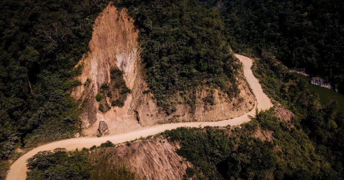
How Geospatial Data Supports Climate and Biodiversity Intelligence

Why location is the missing layer in environmental decision-making
Environmental data today is increasingly detailed and accessible. Emissions are measured, rainfall patterns are monitored, biodiversity indicators are tracked, and land-use systems are analysed with growing precision. Organisations now generate large volumes of environmental metrics and reporting outputs across climate and sustainability systems.
Despite this, many decisions remain disconnected from actual ground-level conditions.
The challenge is often not the absence of data, but the absence of context. Environmental systems are inherently spatial. Climate risks vary across geographies, biodiversity exists within specific habitats, and land-use changes occur unevenly across regions. Without understanding where environmental change is occurring, it becomes difficult to understand what that change actually represents.
This is where geospatial data becomes essential.
Seeing systems, not just numbers

Environmental data without spatial context provides only a partial understanding of environmental systems. A dataset may indicate vegetation decline, but without location-specific analysis, it cannot reveal whether that decline is concentrated within an ecologically sensitive corridor or distributed across a wider landscape.
Similarly, emissions data may show reductions at an organisational level, while spatial analysis may reveal that environmental pressure has shifted to other regions or supply chain locations.
Geospatial data adds this missing layer by connecting environmental indicators to place. It allows organisations to move beyond abstract metrics and towards grounded environmental understanding. Instead of focusing only on how much change has occurred, geospatial analysis enables a more meaningful question: where is change occurring, and why in that location?
This shift makes environmental intelligence more relevant for decision-making.
Climate risk is uneven by design
Climate change does not affect all regions uniformly. Some areas experience intensifying heat stress, while others face flooding, sea-level rise, or prolonged drought conditions.
Even within a single country, climate exposure can vary significantly across regions and microclimates. This uneven distribution means climate risk cannot be fully understood through national averages or aggregated datasets alone.
For example, a supply chain may appear stable when viewed at a national scale, but individual sourcing regions may remain highly vulnerable to repeated climate shocks. Localised drought, flooding, or temperature extremes in one region can disrupt production across an entire operational system.
Reports from organisations such as the World Economic Forum continue to highlight the scale of climate risk, but the actual impact of that risk is always spatial. Understanding its distribution is what enables more effective planning and adaptation.
Biodiversity cannot be separated from place

Biodiversity is fundamentally linked to geography. Species exist within habitats, ecosystems function across landscapes, and ecological processes depend on connectivity between regions.
Without spatial context, biodiversity assessment becomes limited to isolated numbers. Species counts alone cannot indicate whether habitats are fragmented, migration corridors are disrupted, or ecosystems remain resilient to disturbance.
Geospatial tools enable these patterns to be understood more effectively. Satellite imagery, remote sensing, and spatial modelling support continuous monitoring of forest cover, habitat fragmentation, and ecosystem change over time.
Platforms such as NASA Earthdata allow environmental systems to be observed continuously and at scale. This makes it possible to understand biodiversity not only through species presence, but also through ecosystem structure, distribution, and ecological function.
From observation to intelligence
Geospatial data becomes most valuable when it moves beyond observation and supports environmental interpretation. Maps alone do not generate meaningful insight. What matters is how spatial information is integrated with environmental datasets and analysed within context.
For example:
- Combining land-use datasets with climate projections can help identify future risk zones
- Integrating biodiversity information with infrastructure planning can reveal ecologically sensitive regions
- Linking satellite observations with field-based measurements improves the reliability of environmental assessments
This integration transforms spatial information into environmental intelligence. Organisations are then able to move beyond describing systems and begin understanding how systems behave, interact, and evolve over time.
Real-world shifts driven by spatial data

The role of geospatial intelligence is already visible across multiple sectors.
In agriculture, spatial data is used to optimise irrigation, monitor soil conditions, and improve yield stability. Farmers and agribusinesses increasingly rely on satellite-based insights to make decisions at field level.
In forestry, platforms like Global Forest Watch have demonstrated how near real-time monitoring of deforestation can increase transparency and accountability. Governments, organisations, and communities can now detect forest loss quickly and respond more effectively.
Infrastructure and energy companies are also integrating spatial analysis into planning. Before investing in long-term assets, they assess climate exposure based on location-specific data rather than relying on broad assumptions.
These examples point to a broader shift—decision-making is increasingly becoming spatial.
Why geospatial data is still underused
Despite its growing importance, geospatial data is often underutilised in decision-making.
In many organisations, spatial data remains confined to technical teams. It is used for analysis but not integrated into strategic processes. Reports may include maps, but those maps are not always connected to decisions.
There is also a gap between data availability and interpretation. High-resolution data is increasingly accessible, but translating that data into actionable insights requires integration across systems.
As a result, geospatial data often remains descriptive rather than decision-driving.
From static maps to dynamic systems
Traditional mapping provides static snapshots of a system at a point in time. But environmental systems are dynamic. Climate patterns shift, land use evolves, and biodiversity responds to both natural and human-driven changes.
To understand these dynamics, geospatial systems must move beyond static representation toward continuous monitoring.
Advances in remote sensing and data integration are enabling this transition. Spatial data is no longer limited to maps; it is evolving into continuous streams of signals that reflect ongoing change.
This allows organisations to track trajectories rather than isolated states, improving both understanding and response.
The Darukaa Perspective
At Darukaa, geospatial data is treated as the foundation of integrated environmental intelligence rather than as a visualisation layer. Climate risk, biodiversity signals, and ecosystem health are connected within a unified, site-level environmental decision system.
Darukaa integrates multiple environmental layers to develop a more comprehensive understanding of how systems behave and change over time. Climate intelligence captures risks such as heat stress, drought, and flooding, while biodiversity intelligence tracks indicators including species richness, abundance, and habitat fragmentation. Ecosystem health is evaluated through metrics such as NDVI, habitat condition, and landscape structure.
These signals are continuously integrated rather than analysed independently.
Darukaa combines multiple data streams into a dynamic environmental intelligence framework, including:
- Satellite-based remote sensing for vegetation health, land cover, and fragmentation analysis
- Field and acoustic monitoring for species detection and ecological activity tracking
- Geospatial layers for mapping ecosystem boundaries, landscape connectivity, and site-level environmental conditions
The result is location-specific environmental intelligence rather than aggregated analysis. Insights remain tied to individual sites and assets, enabling comparison across regions, identification of high-risk zones, and clearer understanding of where environmental change is concentrated.
Interactive geospatial dashboards transform complex environmental datasets into operationally usable intelligence.
Equally important is the temporal dimension. Darukaa supports continuous monitoring and dynamic tracking, allowing organisations to observe how climate exposure, biodiversity activity, and ecosystem health evolve over time. Climate projections extend across future horizons from 2030 to 2090, while ecological indicators are monitored across daily, seasonal, and long-term cycles.
This is where environmental data becomes actionable. Changes in ecosystem condition, biodiversity loss, or climate exposure are translated into operational risk insights that support intervention prioritisation, targeted planning, and more effective resource allocation.
Darukaa is not simply a mapping or reporting platform. It is an integrated environmental intelligence system connecting carbon, biodiversity, and climate through geospatial and monitoring data to deliver continuous, decision-oriented insights.
Intelligence begins with knowing where
Environmental challenges are often discussed at global scales, but their impacts are experienced locally.
Climate risk emerges within specific geographies. Biodiversity loss occurs within particular habitats. Environmental interventions succeed or fail within distinct ecological and social contexts.
Understanding these realities requires more than measurement alone. It requires spatial understanding.
Geospatial data provides this foundation by connecting environmental information to place, and place to decision-making.
Because environmental intelligence does not begin with numbers alone. It begins with understanding where change is happening and what that change means.
FAQs
1. What is geospatial data?
Geospatial data is information that includes a geographic or location component, allowing it to be mapped and analysed in relation to specific places on Earth.
2. How does geospatial data support climate analysis?
Geospatial data helps track climate patterns such as temperature, rainfall, and extreme events across regions, enabling better understanding of location-specific climate risks.
3. Why is geospatial data important for biodiversity monitoring?
Biodiversity exists in specific habitats. Geospatial data helps track species distribution, habitat changes, and ecosystem health over time, making it essential for conservation planning.
4. What is geospatial intelligence in environmental decision-making?
Geospatial intelligence combines spatial data with environmental insights to understand patterns, risks, and changes, enabling more informed and location-specific decisions.
5. How is geospatial data used in climate risk assessment?
It identifies areas exposed to risks like flooding, drought, or heat stress by analysing environmental conditions across locations, helping organisations assess and manage risk.
6. What are examples of geospatial data in real-world applications?
Examples include satellite monitoring of deforestation, mapping of climate risk zones, precision agriculture, and tracking land-use changes over time.
7. Why is location important in environmental data analysis?
Environmental changes are uneven across regions. Location helps identify where risks or impacts are concentrated, making data more meaningful and actionable.
8. How does geospatial data improve sustainability strategies?
It helps organisations prioritise interventions, identify high-risk areas, and design strategies based on real-world conditions rather than aggregated or generalised data.
9. What is the difference between GIS and geospatial data?
Geospatial data refers to location-based information, while GIS (Geographic Information Systems) is the technology used to analyse, visualise, and interpret that data.
10. Why is geospatial data becoming more important for climate and biodiversity intelligence?
As environmental risks become more location-specific and complex, geospatial data provides the context needed to understand systems and make better decisions.